 OVERVIEW
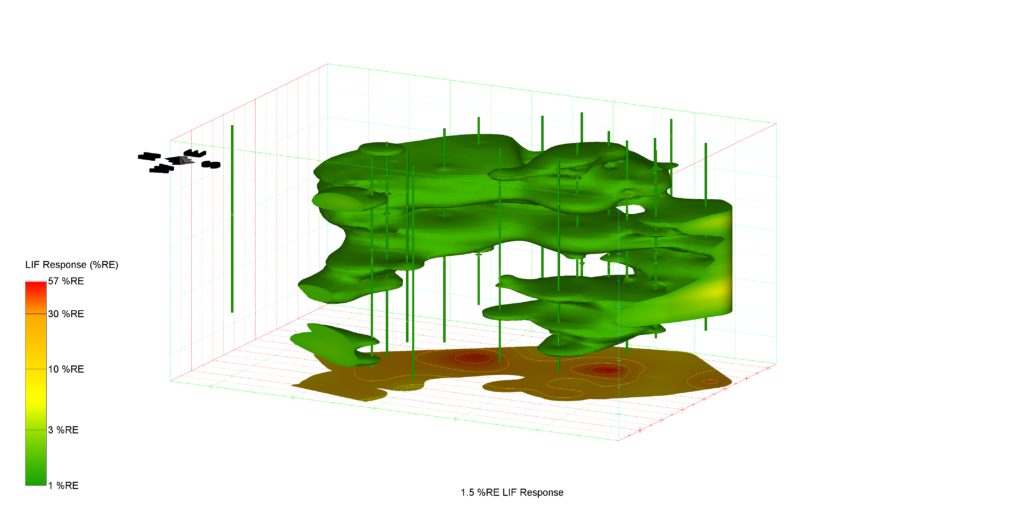
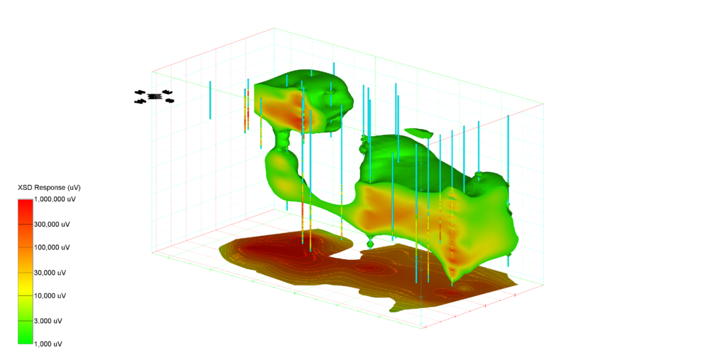
Understanding the subsurface is necessary prior to the development of appropriate remedial solutions yet sometimes the amount of data collected at a site makes it difficult and time consuming to accurately interpret the subsurface. Modelling tools and techniques can be exceptionally useful in these situations.
Using data visualization with or without data modelling can lead to superior understanding and insights. Vertex is committed to solving our clients’ environmental challenges by applying models, when necessary, to evaluate and assess the design of cost-effective remediation techniques. Site-specific, physically-based analyses are completed to plan, evaluate, and optimize soil and groundwater remediation system designs.
Vertex Electrical Conductivity Example by Vertex Environmental on Sketchfab
 EXPERIENCE
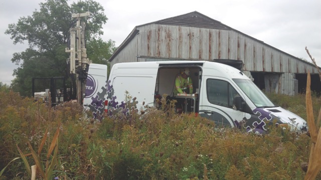
Vertex has modelled data from site from coast to coast across North America, including the visualization of high resolution site characterization (HRSC) data, analytical data, and hydraulic conductivity data. Inclusion of site plans, GPS coordinates of the various drilling locations, and soil type allows for a more complete understanding of each job site.